Over 1000 miles of trail available to explore, and more added each day!

Mattatuck Trail

The Mattatuck Trail features woodland footpaths beside lakes and streams, descends through the steep ridges framing the spectacular Buttermilk Falls, meanders past caves, and crosses several of Connecticut's highest peaks.
Trail Activity
Hiking Cross-country skiing
Length
42.9 miles, One Way
Difficulty
Moderate, Advanced, Strenuous
Towns
Cornwall, Litchfield, Morris, Plymouth, Thomaston, Warren, Watertown, Wolcott
Surface
Packed Earth/Dirt, Rock/Ledge
Pets
Permitted on leash
Fees
No

Description

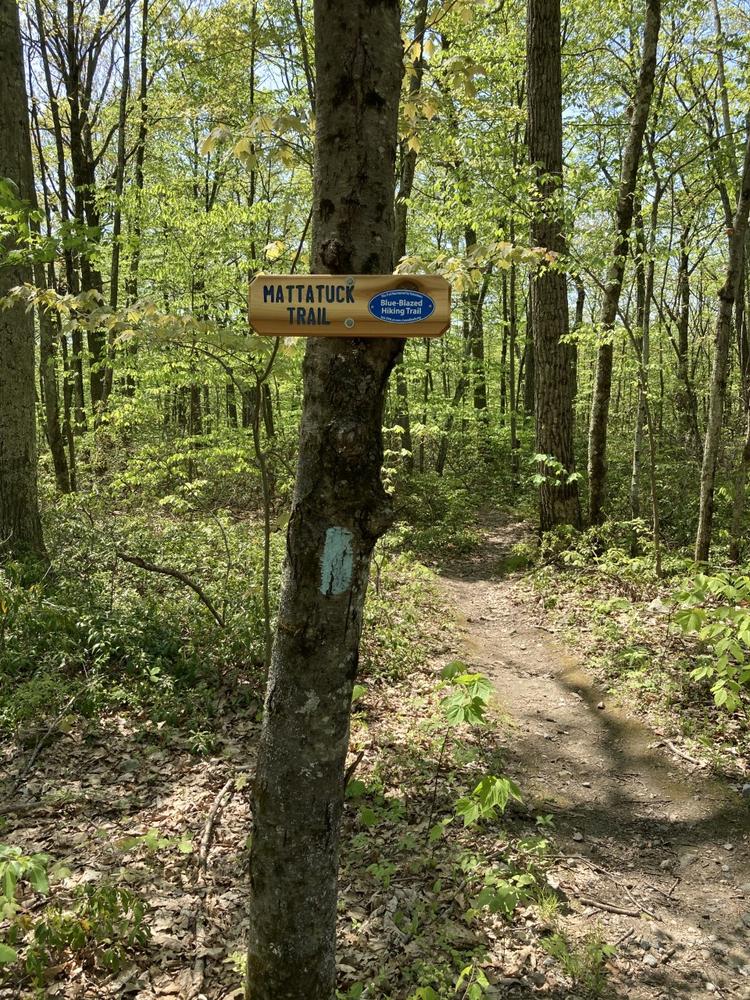
From its southern terminus in Wolcott, the Mattatuck Trail follows a northwesterly route to the Mattatuck State Forest and Black Rock State Park. The trail ascends along the western ridges of the Waterbury Reservoirs with breathtaking views to the north. In Litchfield, the Mattatuck Trail passes through the White Memorial Conservation Center, a 4,000 acre wildlife sanctuary which includes a network of supplementary side trails.

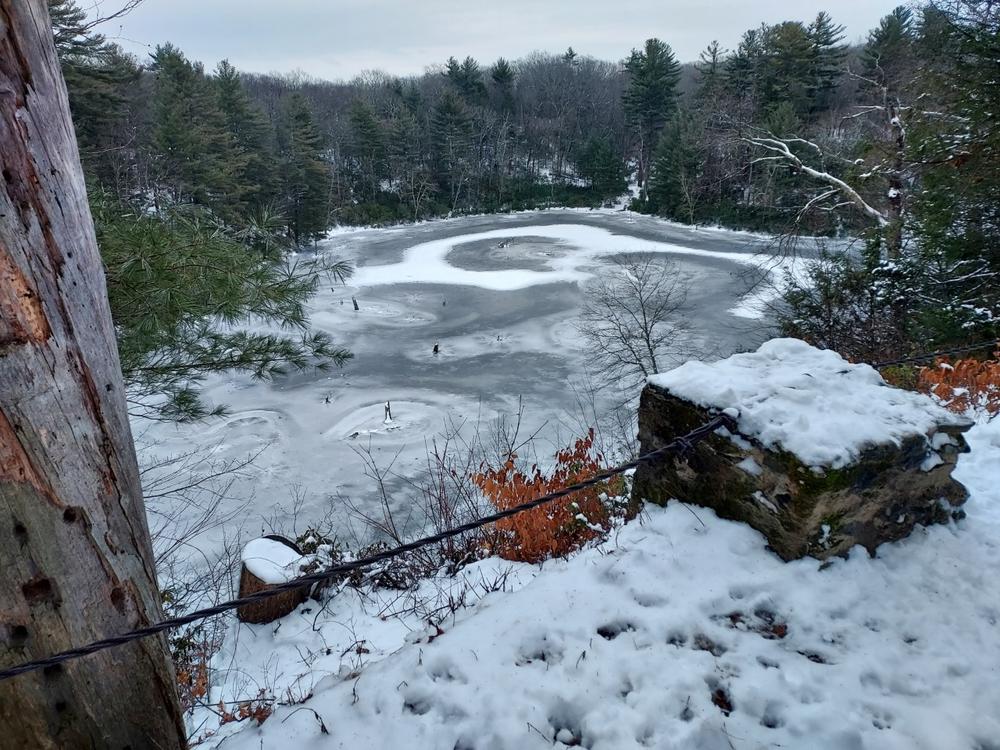
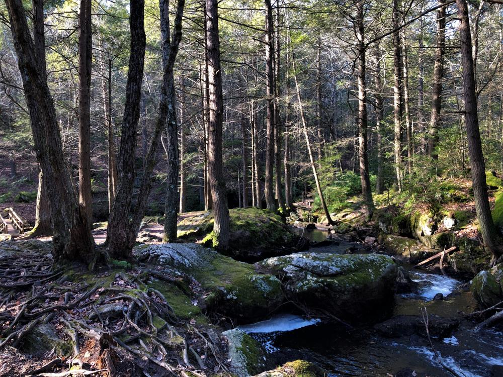
After a brief interruption, the trail resumes in Warren in the Wyantenock State Forest, quickly entering City of Waterbury Shepaug Reservoir land and Warren Land Trust open space property. The trail traverses rugged terrain featuring mountain laurel, seasonal views of the reservoirs to the east, streams and marshes, and deep woodlands.

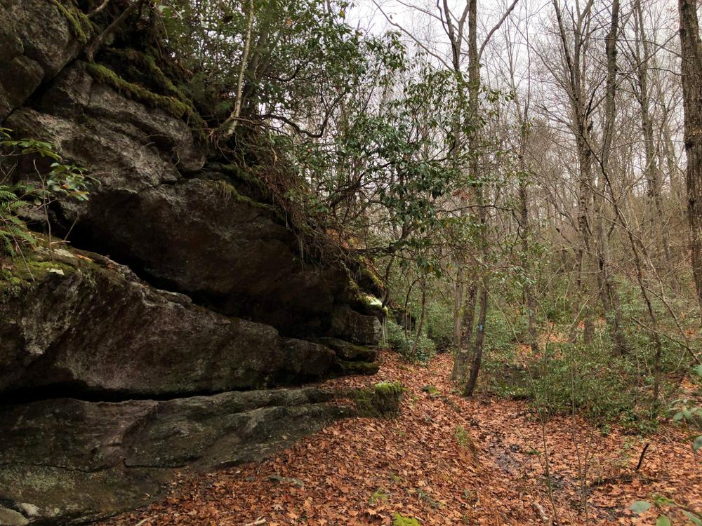
The northernmost section of the Mattatuck Trail travels through the Mohawk State Forest in Cornwall, one of the most scenic woodland areas in Connecticut. Meandering beside streams and through rock walls, the trail climbs Mohawk Mountain and offers outstanding panoramic views of western Connecticut and the hills of New York. The Mattatuck's northern terminus is at its junction with the Blue-blazed Mohawk Trail.

Mattatuck was the Native American name for the intervale between Waterville and Naugatuck. A derivation of the Native expression Matetacoke, it roughly translates as "the place without trees" or "the badly wooded land." The word was used in 17th Century deeds and Colonial records to describe the area known today as Greater Waterbury.

Other Information

  • The Waterbury Reservoir lands are open to foot travel only.
  • Pets must be leashed on the Waterbury Reservoir lands.
  • Hunting is permitted in State Forests intersected by this trail. Please use caution and wear orange during hunting season.
  • Biking only allowed on certain sections of the trail.

Notice a trail problem? Please report it to CFPA at this link

Trail Manager

For more information, visit the Connecticut Forest & Park Association website or contact:

Connecticut Forest & Park Association (CFPA)
16 Meriden Rd
Rockfall, CT 06481
860-346-TREE
View website

Trail Tips

Volunteer
Check out volunteer opportunities with the State of Connecticut, local Land Trusts, AMC, CFPA, NEMBA and others!
Legend
Hide All

Trailhead Information

There are a number of access points to the Mattatuck Trail:

Southern trailhead: Mad River Road

Northern trailhead: Toomey Road

Click on a parking icon to get custom directions
Please Log In or Create Account to add comments.
SHARE THIS TRAIL
PRINT THIS TRAIL

Add Trail Log

Please wait…
Join In on the Fun!
Log in or create an account below to unlock all the great features of Connecticut Trail Finder: keep track of trails you want to do, preserve memories of trails you’ve done, and more!
Your log in attempt was not successful. Please try again.
    Lost your password? Reset your password
    Don't yet have an account?
    There was an issue with your submission. Please try again.
      * Indicates required field
      Already have an account? Login here
      Enter your username, and we will send you a new, randomly generated password to your email account.
      There was an issue with your submission. Please try again.

        Success! A new password has been emailed to you.

        Log in now

        Please wait…