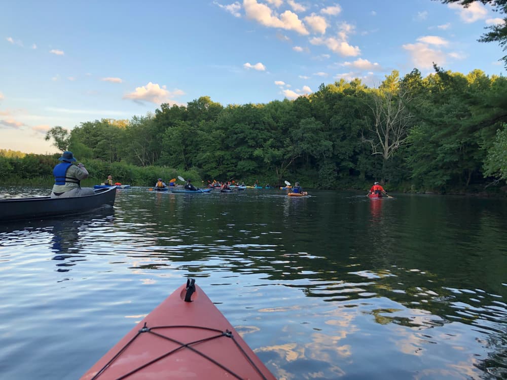
The Quinebaug River Water Trail, like the Willimantic River Water Trail and the Shetucket River Water Trail has been designated a National Recreation Trail for “exemplary trails of local and regional significance.” The Quinebaug River has many undeveloped stretches with peaceful scenery and plentiful wildlife including herons, geese, ducks, hawks, osprey, turkeys, and many songbirds, as well as beaver, deer, and fox. Bald Eagles pass through in the late winter and early spring. The Quinebaug River is stocked with brook, brown, and rainbow trout and there is also a healthy population of small-mouth bass throughout the river. The Quinebaug River also has many historic dams. Most are not passable by canoe or kayak and require taking out your boat and driving to the next section by car.
See the trail map for context and locations.
The first section starts in Thompson and is 5.9 miles long with some moving water but no rapids, some flat water, extensive wildlife habitat and no portages. It is an excellent outing, approximately 3 hours, for paddlers who are comfortable with moving water. This section is not recommended during high-water events after snowmelt and heavy storms, or when water levels are low. See also the US Army Corps of Engineers' brochure.
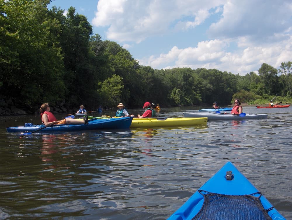
The second section starts at Simonzi Park in Putnam and continues for 5.9 miles to the Route 101 Bridge in Pomfret. This section has some current, some quick-water and flat-water, and no portages. It is an excellent 2-hour outing for paddlers who are comfortable with moving water. This section holds water well and may be navigable when other sections are too low.
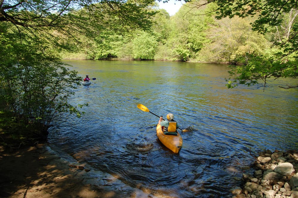
The third section starts at Brooklyn Riverside Park in Brooklyn and travels 4.4 miles upriver to Rogers Dam in Pomfret and Killingly. Even in mid-summer and droughts, the ponded water upstream of the launch tends to be navigable thanks to water being backed up behind the Quinebaug/Killingly Dam downstream. However, the dam downstream is hazardous, which is why this section heads upriver towards the dam at Rogers Corporation. This is a good place for novice paddlers to enjoy the river. Although this segment is 4.4 miles long, remember the return to Riverside Park which makes this an 8.8 miles round trip.
The fourth and final section is 18.6 miles but can be done in shorter pieces.
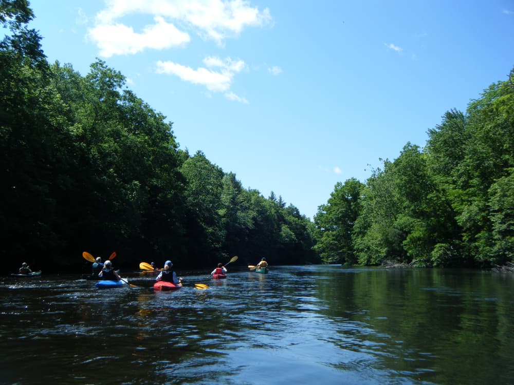
The section starts at Wayne R. Lafreniere Memorial Canoe Launch in Killingly and continues 5.3 miles to the CT DEEP Fish Hatchery, 9.9 miles to Robert Manship Park, or 15.5 miles to Butts Bridge in Canterbury. This is the longest and most challenging segment of water trail on the Quinebaug River. Along the way, there is quick-water, several Class II rapids, spiky remnants of dams, some flat-water, and no portages. It is a challenging outing for experienced paddlers. At high flows, spray skirts are strongly recommended. Only the last section from Robert Manship Park to Butts Bridge presents less current.
An additional 3 miles of paddling continues south to Aspinook Pond and is accessible from the Butts Bridge launch in Canterbury. The extended impoundment offers an easy paddle on flatwater towards Wyre Wynd Dam and is a good area for novice paddlers. Although the paddle is 3 miles long, remember the return to Butts Bridge makes this 6 miles round trip.
Consult The Last Green Valley's paddle guide for a more detailed description of these sections.
Like all streams and rivers, the Quinebaug River changes character every day, even hourly. Water levels rise and fall with rainfall, snowmelt and dam releases, sometimes dramatically. Check the USGS online stream gages at West Thompson and Putnam before heading out and during your trip.
A CT fishing license is required to fish anywhere along the Quinebaug River.

From I-395 N, take Exit 49 (left exit) for Route 12 N and continue for 3.1 miles. Stay left onto Route 131 W/Quinebaug Road. Or from I-395 S, take Exit 50 and head west on Route 200. Continue straight on Buckley Hill Road for 1.9 miles, then continue straight onto Route 12 north and stay left onto Route 131 W/Quinebaug Road. After 2.5 miles, turn left onto Parker Road and take another left onto Fabyan Road. The launch is on the left just before the bridge. Look for the brown sign that says "Fabyan Dam Canoe Launch."
From I-84, take Exit 73 for Route 190 east towards Union. After 1.9 miles, turn right onto Route 171 east, continue for 2.3 miles, then turn left onto Route 197 east. After 9 miles, take a right onto Chandler School Road and continue on Blash Road, then merge onto Paine District Road and continue on Fabyan Road. The launch is on the right just past the bridge. Look for the brown sign that says "Fabyan Dam Canoe Launch."
The parking area is a paved lot with six parking spots. Additional parking in an unpaved lot across Fabyan Road. No public restrooms. It is a 175 feet carry down to the bank, gently sloping put-in.
Click on any parking icon on the map for driving directions to other launch and take-out sites for each section.
Success! A new password has been emailed to you.