The Shetucket River Water Trail, like the Willimantic River and the Quinebaug River Water Trails, has been recognized as a National Recreation Trail by the Secretary of Interior for being “exemplary trails of local and regional significance.” They are part of The Last Green Valley National Heritage Corridor.
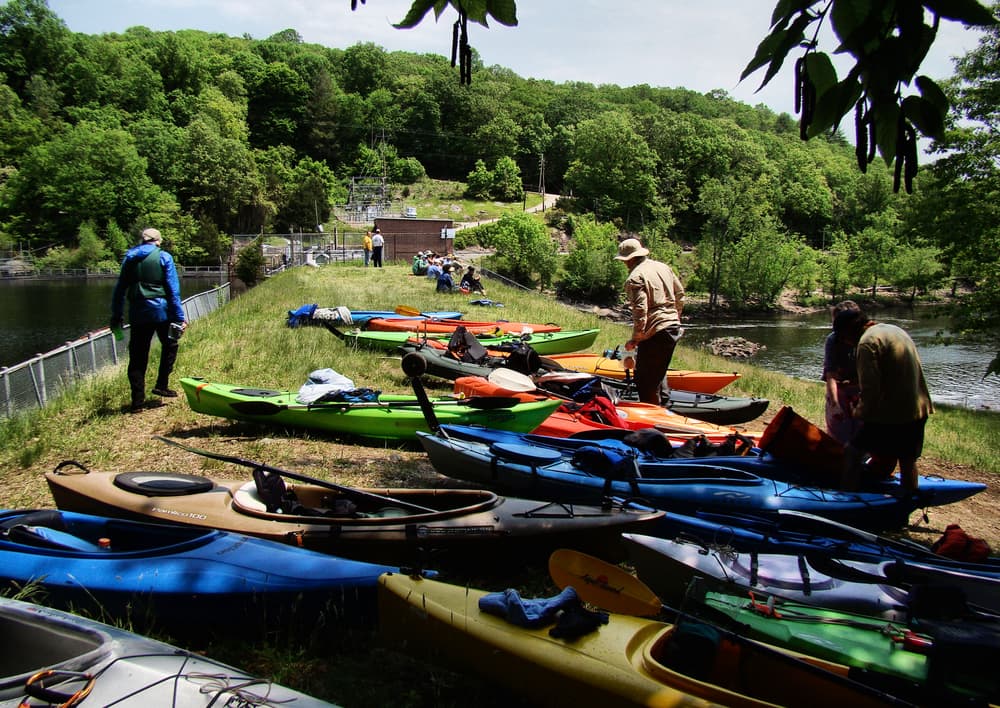
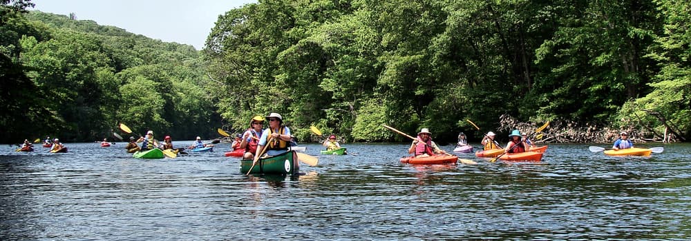
The first launch is at Lauter Park and is actually on the Natchaug River. In less than 2 miles, the Natchaug meets the Willimantic River and together they form the Shetucket River, making Lauter Park a popular starting location for paddling the Shetucket River. Recommended launches for less-experienced paddlers or groups with children are located at Occum Dam, Sprague (upstream paddle) and Red McKeon Park in Norwich (downstream to Taftville).
Please note: the landing/launch site at Roosevelt Avenue in Norwich/Greeneville (below the Greeneville dam) is overgrown and may be difficult to use.
There are four dams on this stretch of the Shetucket River: Scotland Dam, Occum Dam, Taftville Dam, and Greeneville Dam. All of them pose serious danger - do NOT paddle these dams!
If you paddle beyond the Plains Road landing, be prepared for a paddle of 11–13 miles and an extensive period of time on the water. In addition, be prepared for a scratchy paddle and some walking below Scotland Dam if water levels are low. See the River Conditions section below.
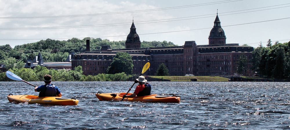
Past the Harold T. Brown Memorial Park Boat Launch is the Norwich Harbor Water Trail network which includes not only the Shetucket but also the Yantic and Thames Rivers.
Like all rivers and streams, the Shetucket River changes in water flow and character on a daily basis, even by the hour. Before heading out, check the online USGS stream gage for the Shetucket River near Willimantic. When the online gauge reads 400 cubic feet per second (cfs) or greater there should be enough water to paddle above and below Scotland Dam to Sprague River Park. For more specific safety tips, please consult the “Before You Go” and “Preparation Checklist” sections of The Last Green Valley's paddle guide.
To help protect this water trail:

From Route 6 west, take the exit for Route 195/University of Connecticut-Storrs. At the end of the ramp, turn left and then immediately right onto South Frontage Road. Take a right onto Route 195/Storrs Road which becomes Jackson Street. Just past Foster Drive, the entrance to Philip Lauter Park is on the left.
From Route 6 east, take the exit for Route 195/University of Connecticut-Storrs. At the end of the ramp, turn right onto North Frontage Road. Turn right again onto Route 195/Storrs Road which becomes Jackson Street. Cross over Route 6 and pass South Frontage Road. Just after Foster Drive, the entrance to Philip Lauter Park is on the left.
From Willimantic Center coming from Main Street or Frog Bridge, take Jackson Street north. Continue for 1.3 miles, and find the entrance to Philip Lauter Park on the right.
The entrance to Philip Lauter Park is located across Jackson Street from the smaller Whittemore Park. Follow the road into the park and past the skateboard park. Then turn left towards the river to find the car top boat launch sign and information kiosk. There is plenty of parking along the road and room for several cars near the boat launch area. The put in is relatively easy. Depending on water levels, there is a large rock at the launch location to avoid.
From I-395, take Exit 13 (southbound) or 13A (northbound) for Route 2E towards Norwich. Continue for 1.2 miles. Turn right and then bear right to follow Route 2E/Route 32 south towards downtown. After 1.6 miles, the entrance to Howard T. Brown Park is on the right. There is plenty of parking at Brown Memorial Park, or at the municipal lot across Chelsea Harbor Drive from the park. Put-in from the public boat launch, just west of the docks.
For all other launch and landing sites, please click on the map to get directions, and consult The Last Green Valley's Paddle Guide for more details.
Success! A new password has been emailed to you.